Contact
spotlight
Reality Capture – Digitizing the physical world 03.30.2016Nothing informs a design like proper context and designers at the leading edge of technology are benefiting from detailed and accurate 3D models of the built environment.
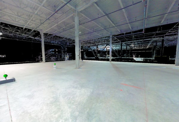
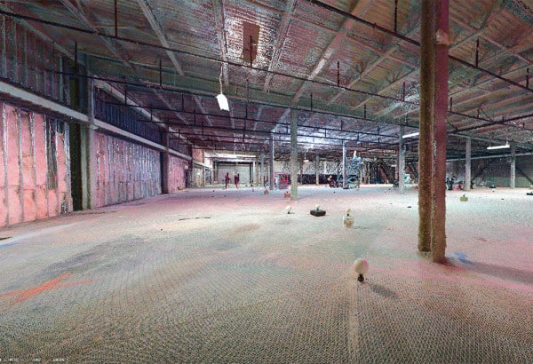
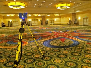 Reality Capture is a catch-phrase which describes the process of measuring, digitizing and documenting existing conditions for use by 3D-based design tools.
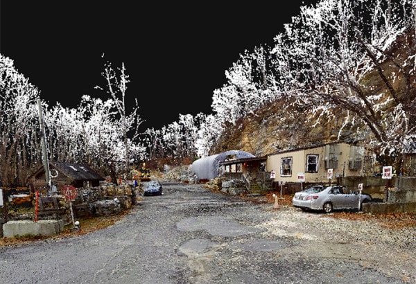
• Laser Scanners create Point Clouds – dense sets of three-dimensional data points – which can be analyzed, dimensioned, and imported into software like AutoCAD, Revit and SketchUp to put a design into context with existing conditions.
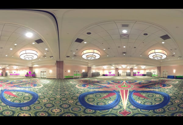
• Laser Scanners can also provide owners, stakeholders and the design team with 360° panoramic photographs which can be dimensioned in a web browser.
Click here to learn more about this emerging and exciting service.
related articles
-
Design Visualization breathes life into your project
03.30.2015Computer models, 3D renderings and animation
Read More >


